The Challenges and Opportunities of a Rural Municipality
A masterplan with guidelines for future developments, Kortenberg, BE
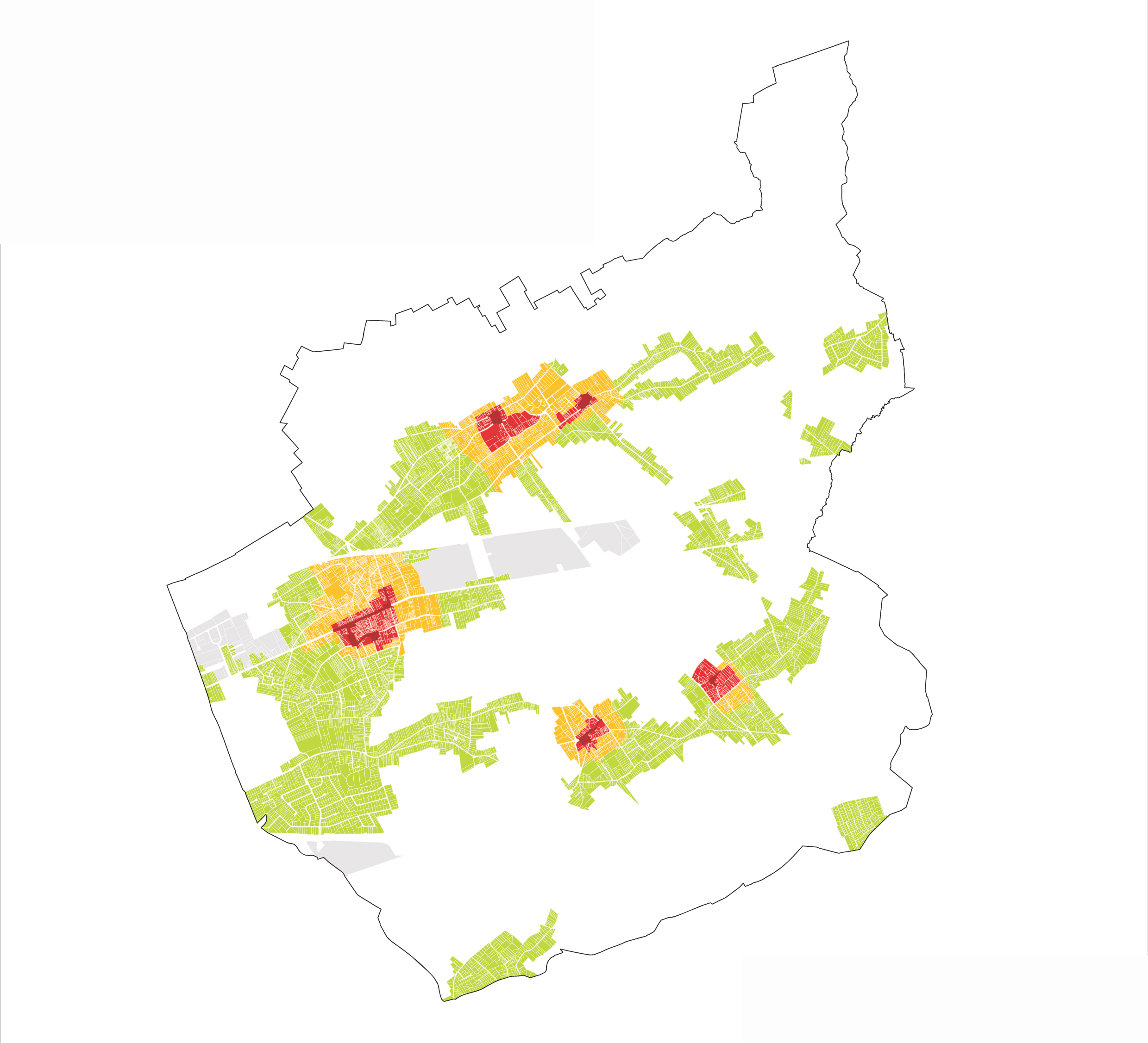
Kortenberg is a rural municipality, right next to the Brussels metropolitan area. It is an attractive municipality for those who work in proximity to Brussels and Leuven, but prefer to live in a more tranquil rural area. The municipality has to deal with many private developers who are reacting to the growing demand for houses and apartments. Due to a lack of vision that guides the spatial developments in the municipality, there is an ad hoc policy on building projects. Therefore, the municipality initiated the making of a masterplan with clear guidelines for new building projects and future spatial developments.
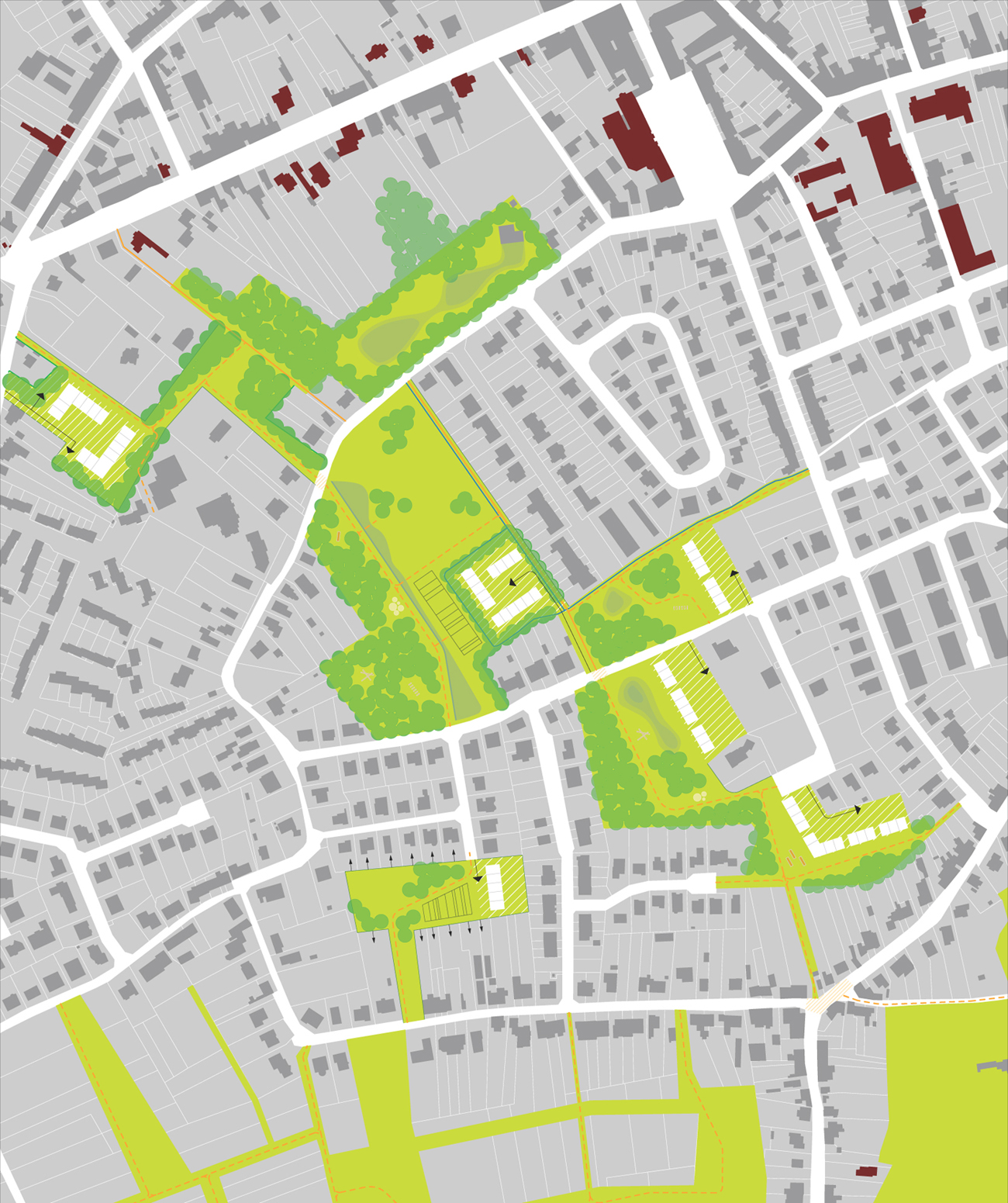
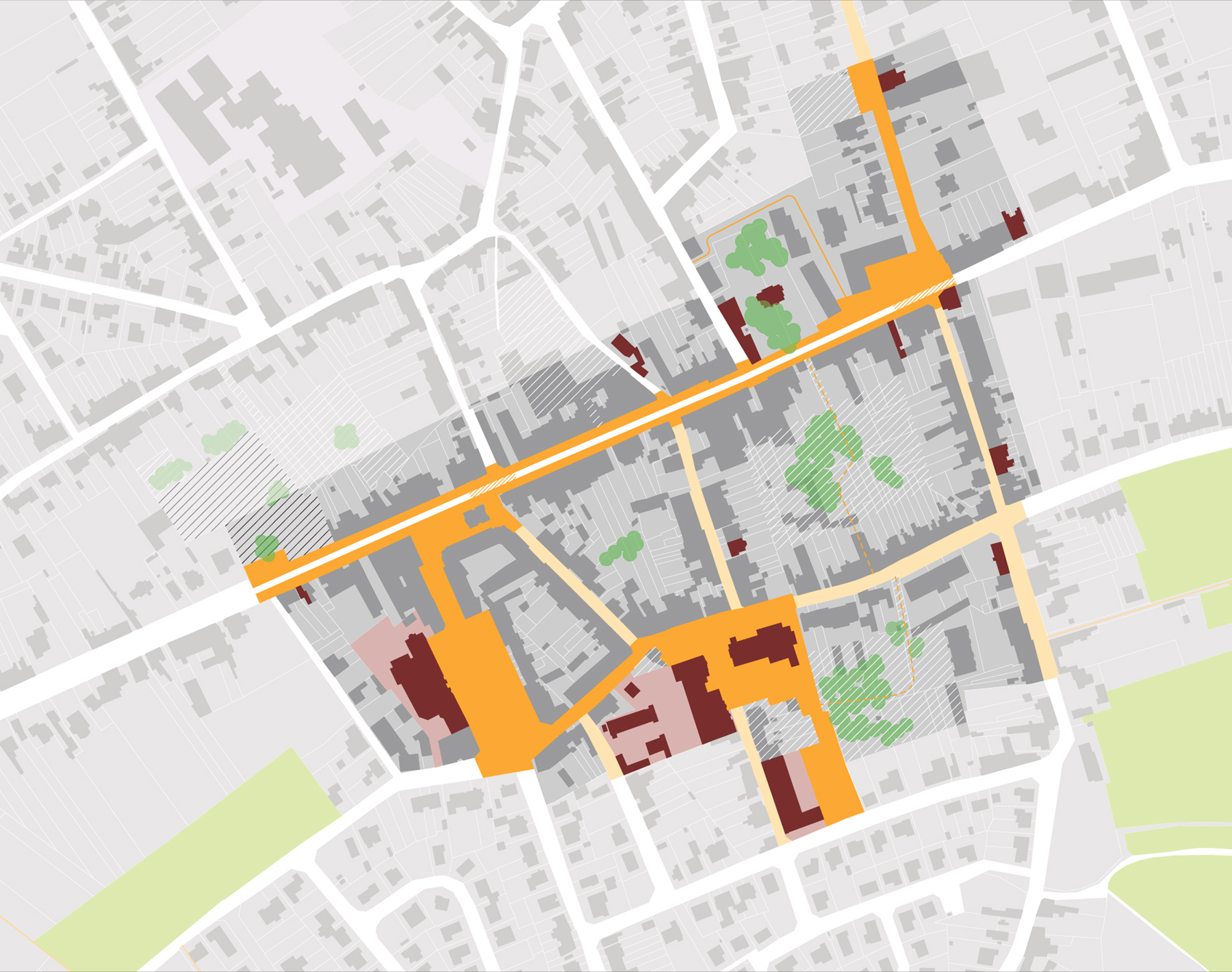
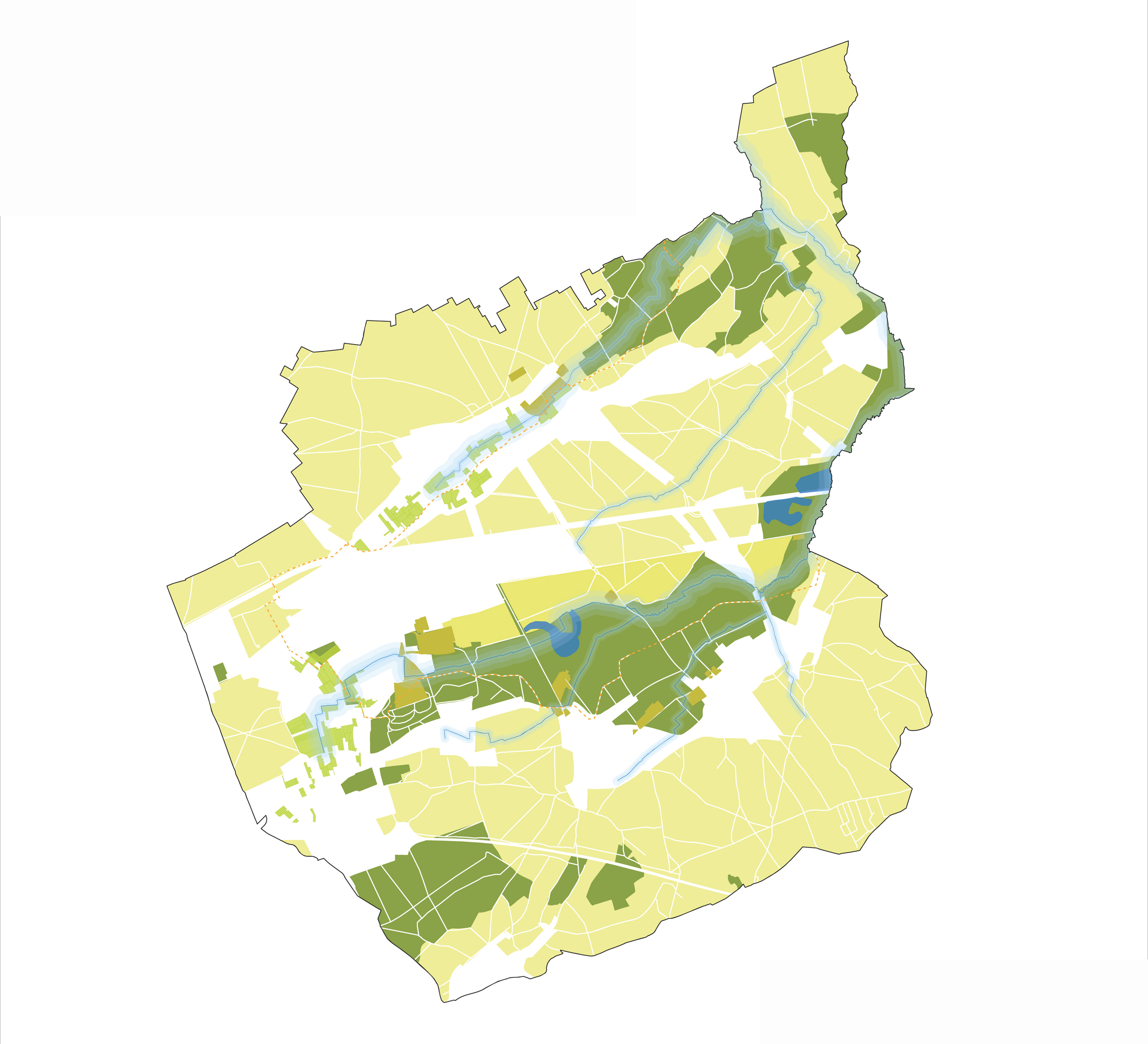
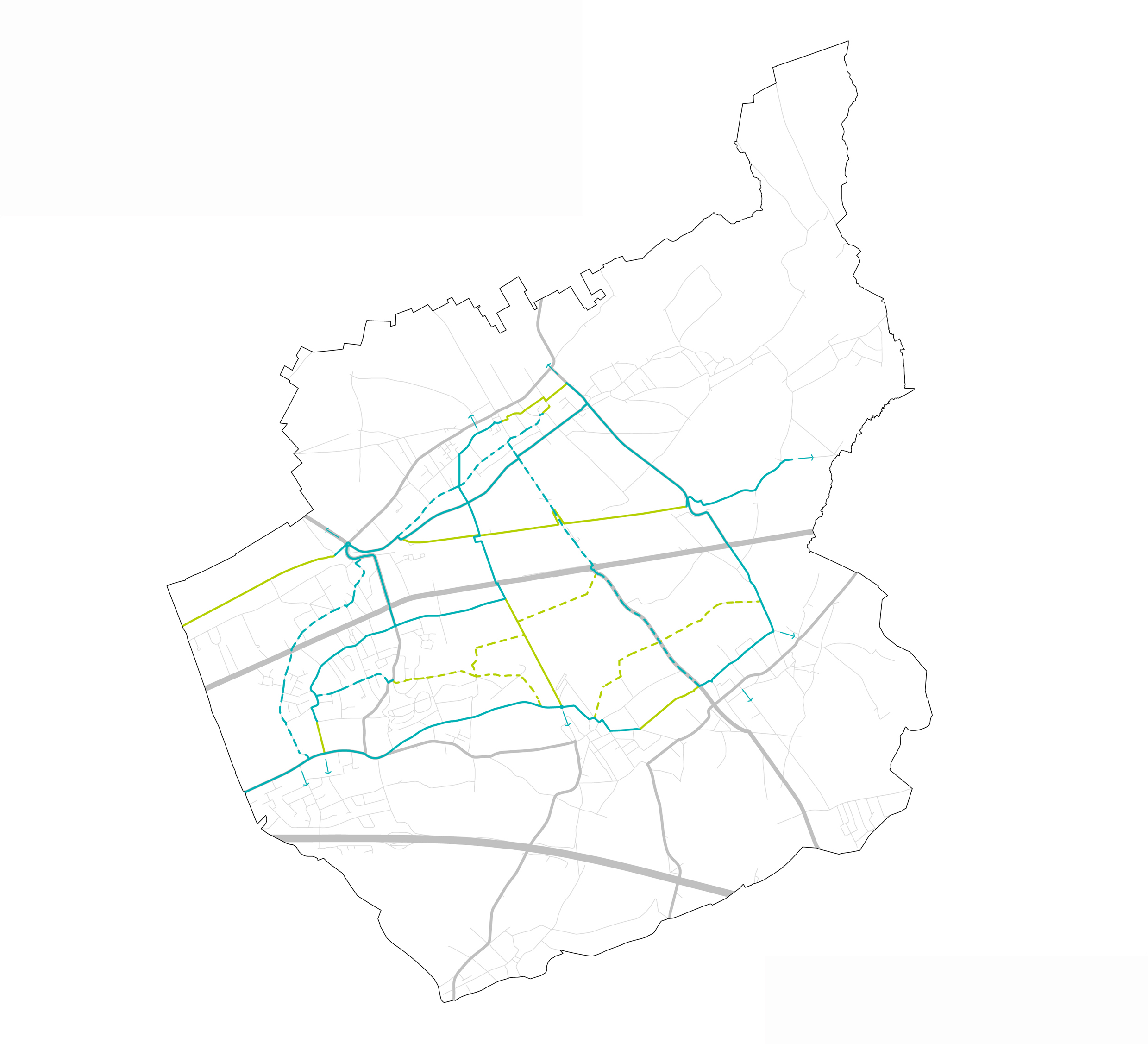


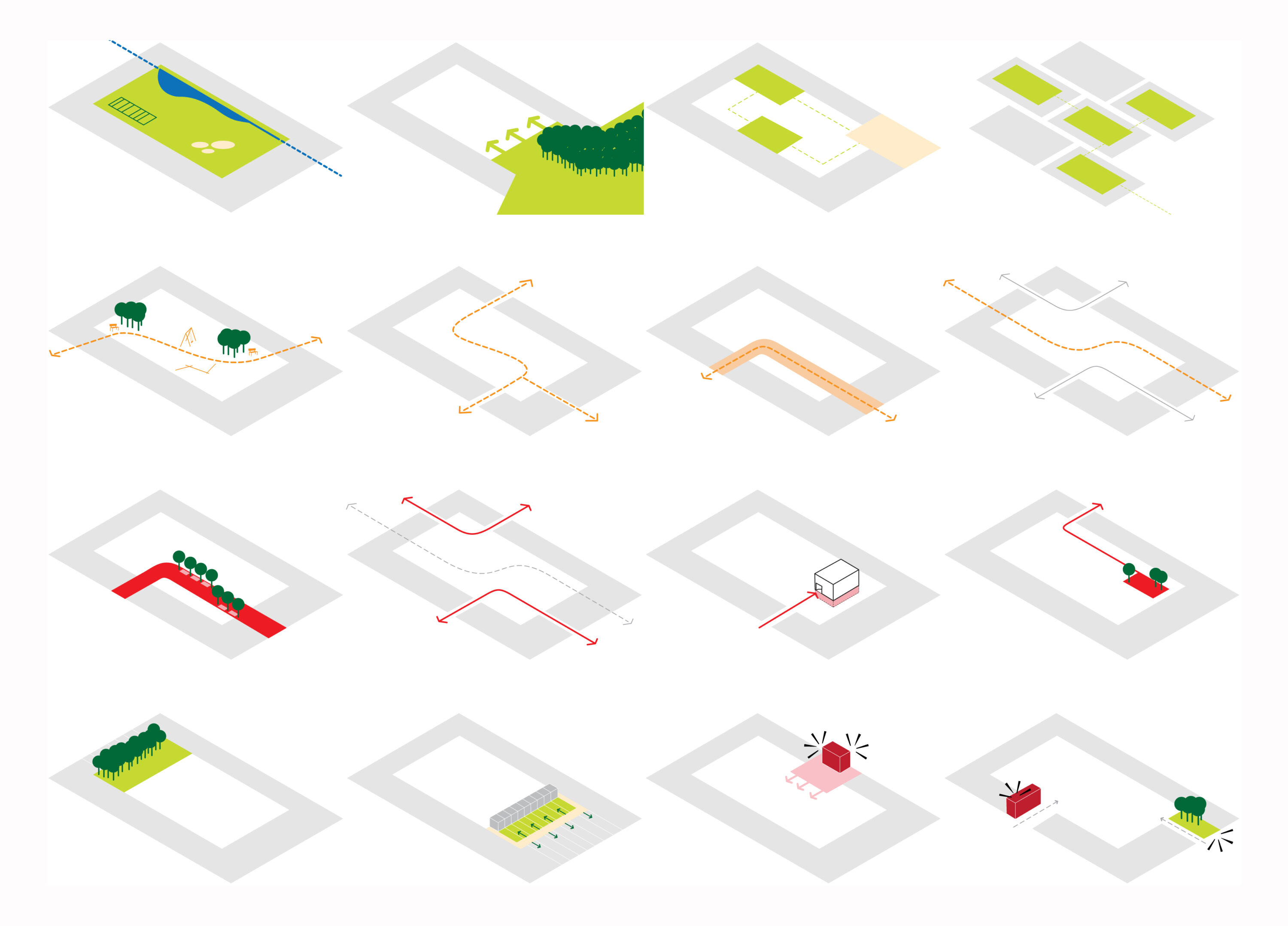
Kortenberg is a green municipality with wide views of the landscape. It is characterised by a large number of old villas, which gives the municipality a typical atmosphere. Conversely, there are 3 big linear infrastructural works that have a major spatial impact on the municipality: there is the railway, the highway and the historical road to Brussels. The masterplan provides a spatial vision on the more general issues in the municipality, to emphasize its existing qualities. Furthermore, it looks into more strategic places which ask for a more specific approach.
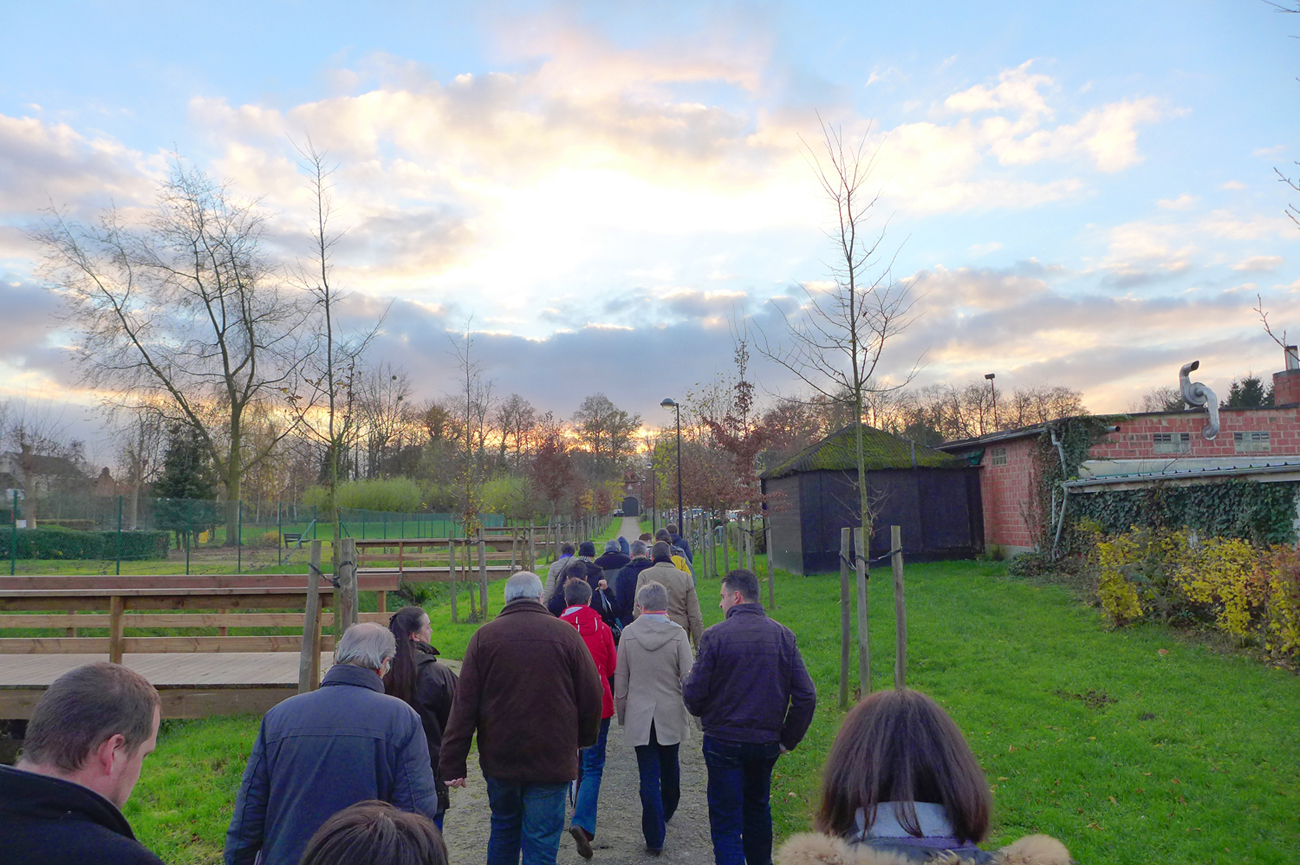
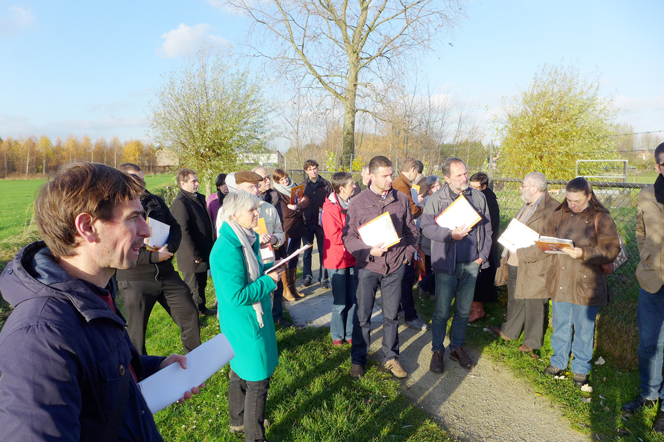
The masterplan is made in collaboration with the local inhabitants. During a walk with the locals, the most important spots were visited while ideas and suggestions were offered. Through questionnaires local expertise was gathered which proved to be an important addition to the analysis. In the following phase an exhibition will give the inhabitants a chance to get to know the plans in more detail at their own pace.
Project Facts
Scope of work
Making a masterplan and image quality guidelines for the municipality of Kortenberg
Collaboration
Land (landscape architects)
Location
Kortenberg, BE
Scale
Municipality
Client
Municipality of Kortenberg
Status
Completed, 2014