River Valley in the City
Research by design and masterplan for the northern edge of the city, Herentals, BE
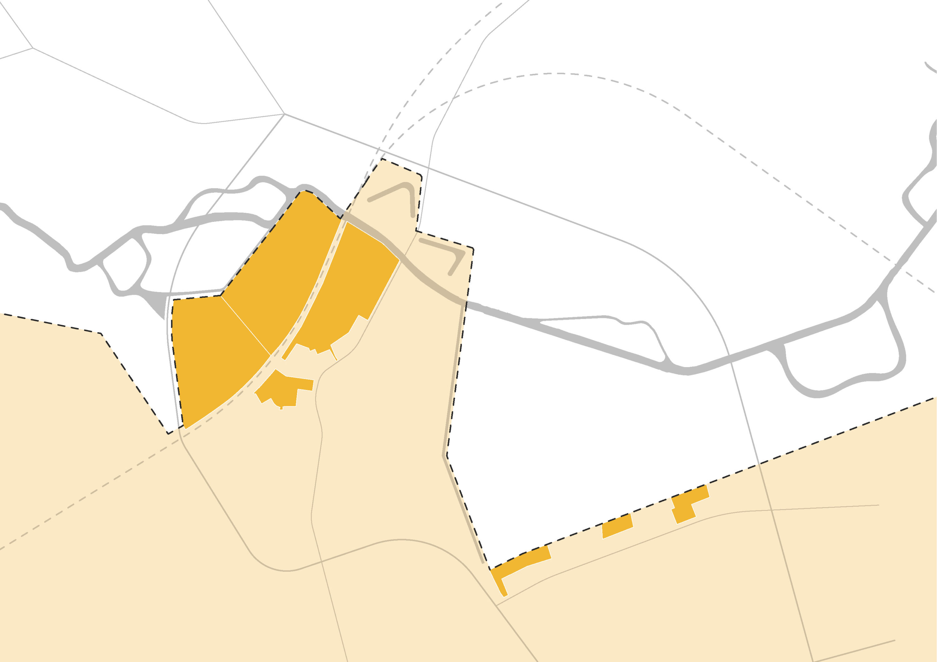
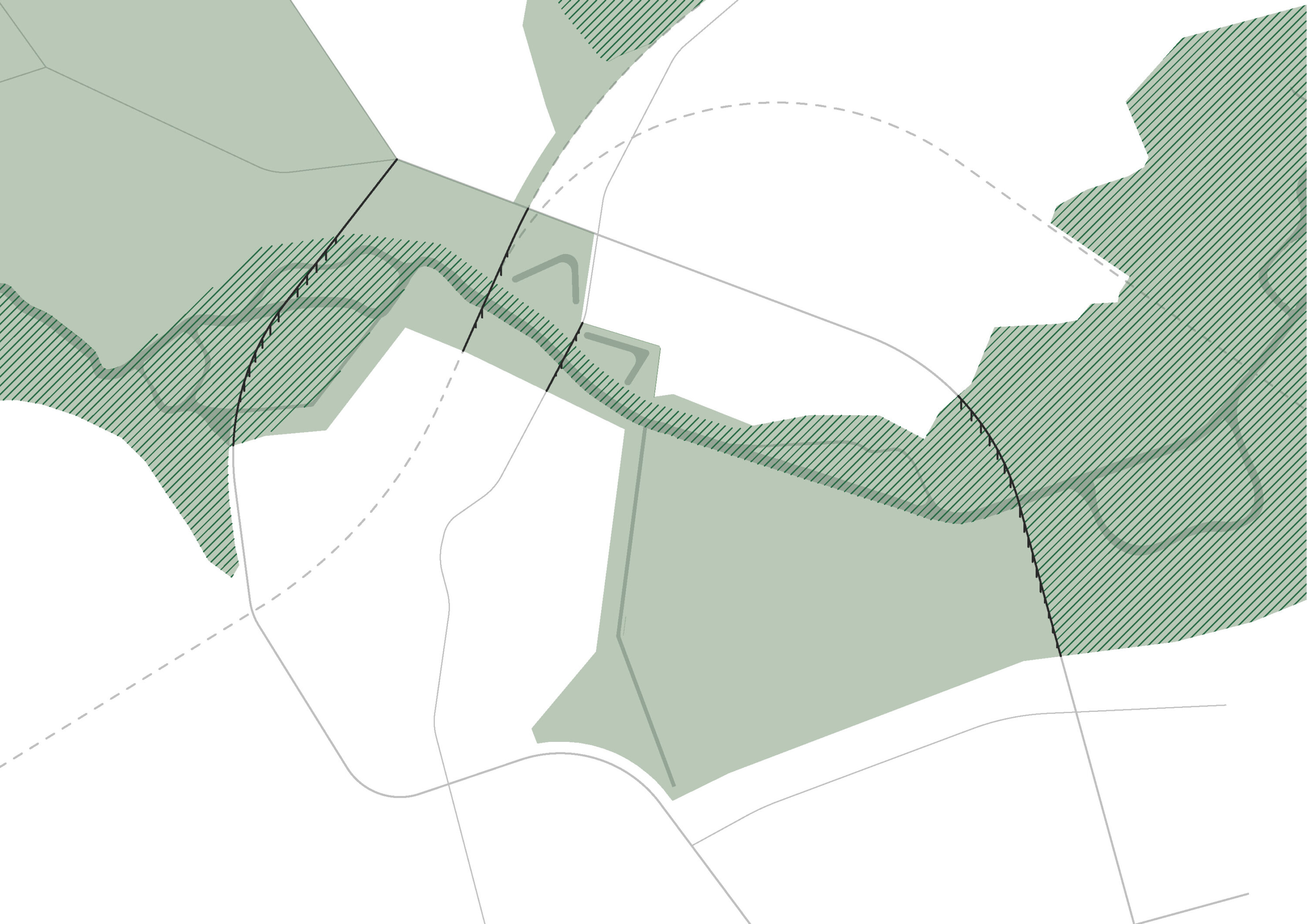
This research by design project complements the ongoing planning process by the Province of Antwerp in which the delineation of urban development zone around Herentals is fixed. The site has a very strategic location where a river valley and the city edge meet. Various actors and sectors are claiming the site. On the one hand, space is needed for extra water buffering along the river and to create an ecological corridor along the valley. On the other hand, this is also a logical location for urban development, close to the train station and the city centre. New housing and a suitable location for a new regional hospital campus are needed. Furthermore, the site is also not an empty canvas, as it currently houses allotment gardens, different recreational functions and rich historical heritage. An integrated approach is necessary to avoid an unsatisfying compromise between all these conflicting claims.
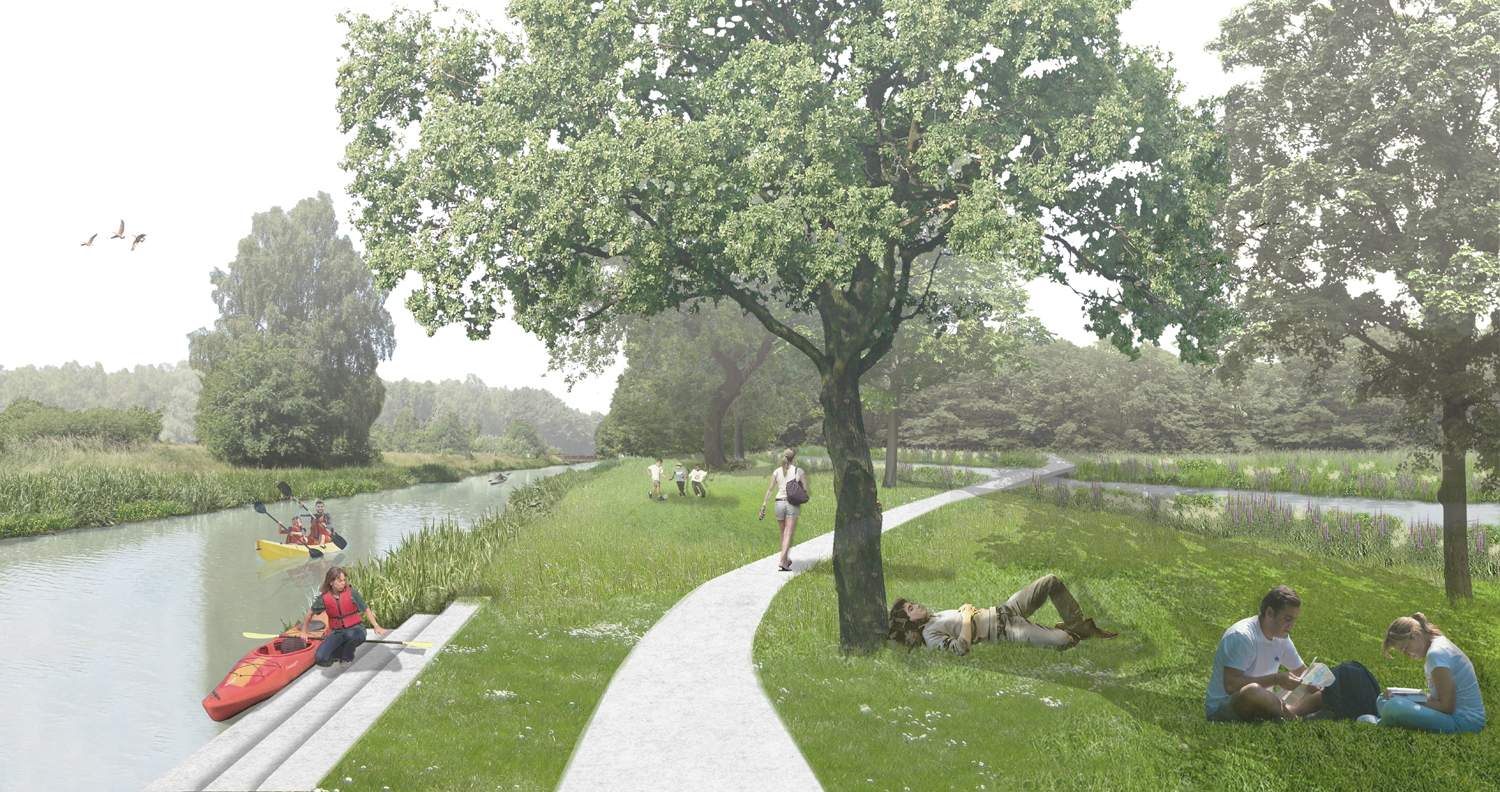
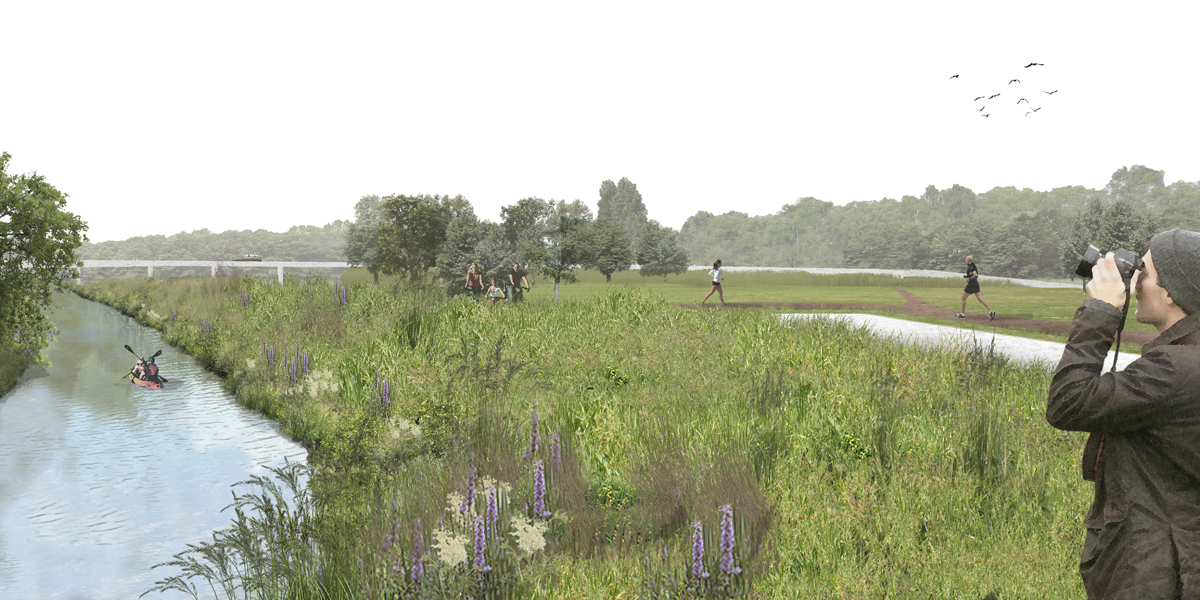


Defining the identity of the northern edge of the city, where it meets the river valley, is the main focus of our research. Instead of taking the different claims as a starting point, we want to start from the potential significance of this site for the city as a whole. The discussion about the identity was initiated by two provocative what-if scenarios.
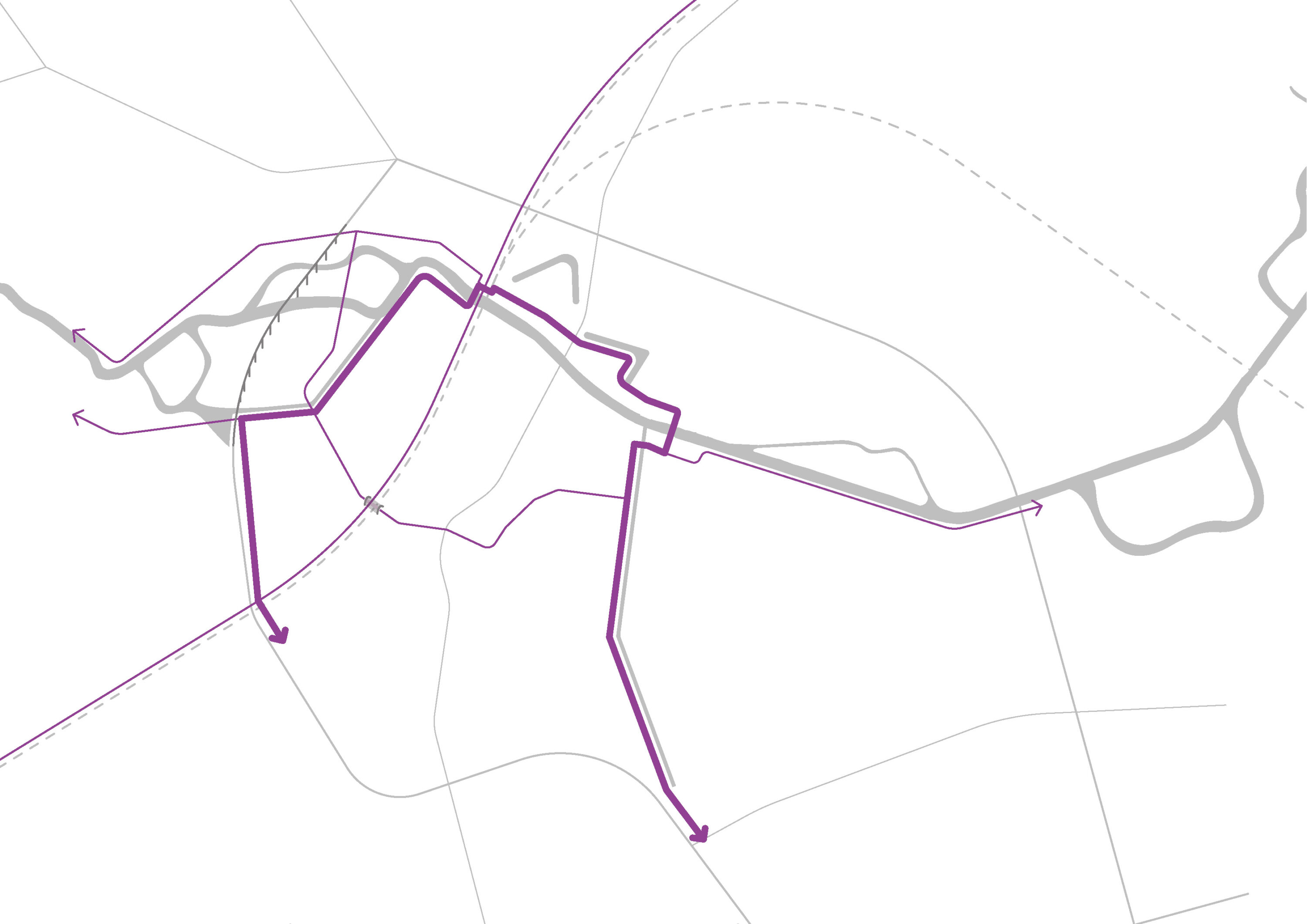
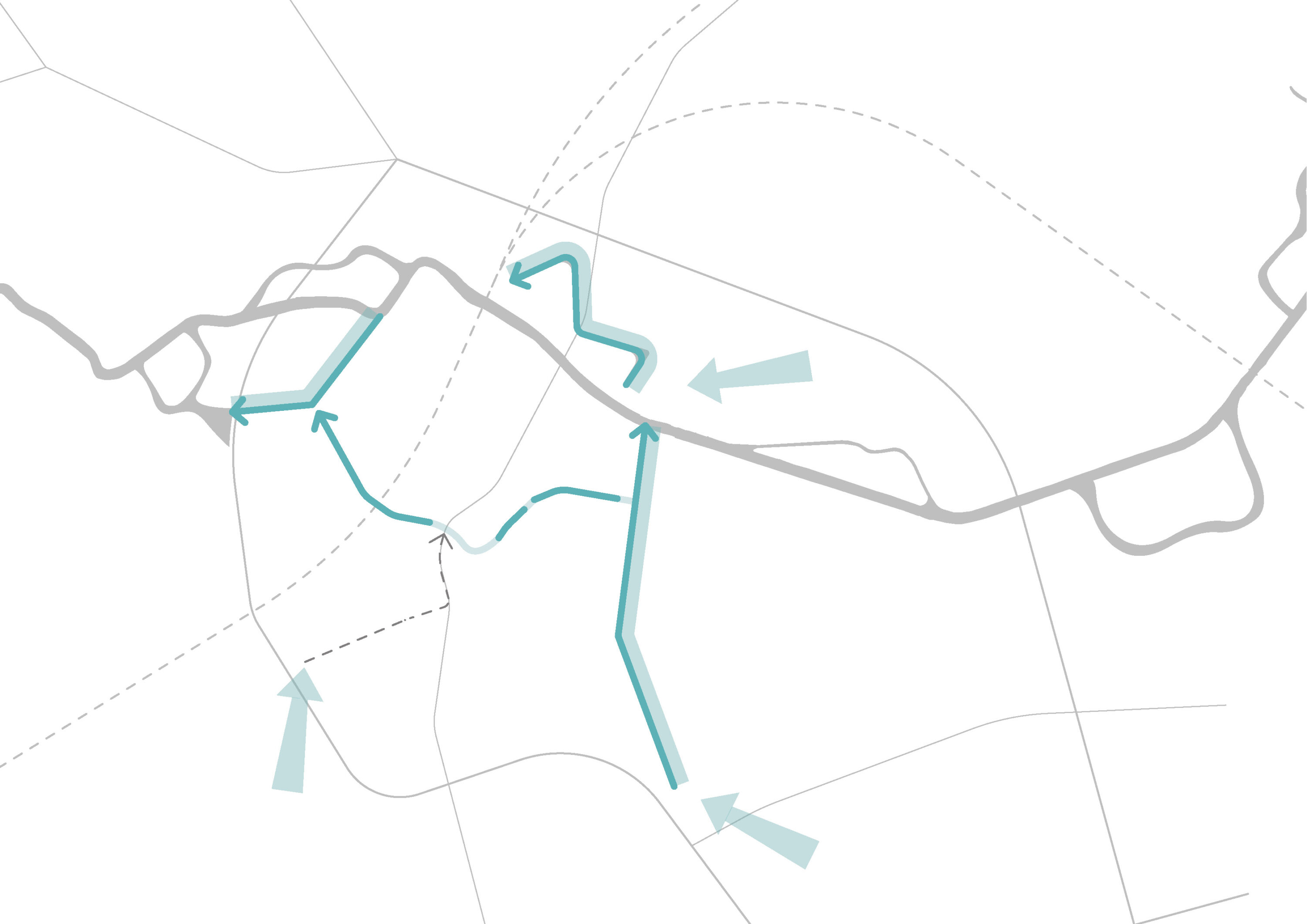
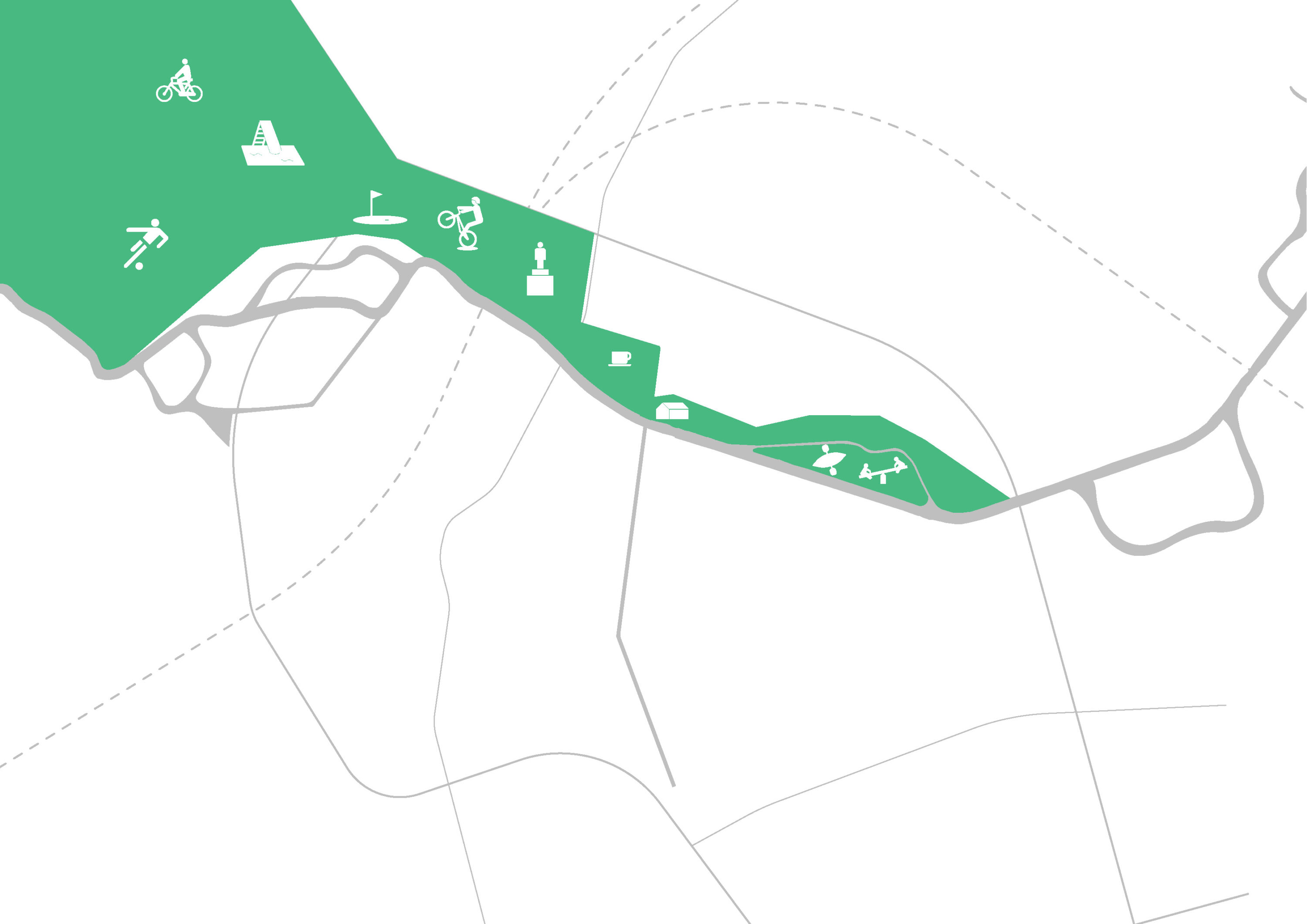
The design research resulted in the conceptualisation of a landscape framework around flexible development zones. The framework guarantees a robust river valley and a qualitative coherency for future developments. Synergies are created through an integrated approach. The new dike profile and bridge create a water retention area along the river banks, and create a diverse landscape with high ecological and recreational values. Furthermore, it defines the northern edge of the city of Herentals, whilst evoking its historical relation to the river valley. Flexible developments zones are defined within this landscape framework. These development zones foremost offer possibilities, within a series of conditions and design guidelines.
The masterplan will be the basis for a spatial plan (PRUP) by the Province of Antwerp.

Project Facts
Scope of work
Research by design and making a masterplan for the northern edge of the city
Collaboration
LAMA (landscape architect), Ecorem (ecology expert)
Location
Herentals, BE
Scale
60 ha project area
Client
Province of Antwerp
Status
Completed, 2018